Remote Sensing

Remote Sensing

Remote Sensing at CVAIL combines learning-based perception with physically informed reasoning so models can operate under real-world constraints instead of idealized settings. We work on robust models for geospatial interpretation, temporal analysis, and scalable earth-observation systems that support decision-making over broad regions.

Publications

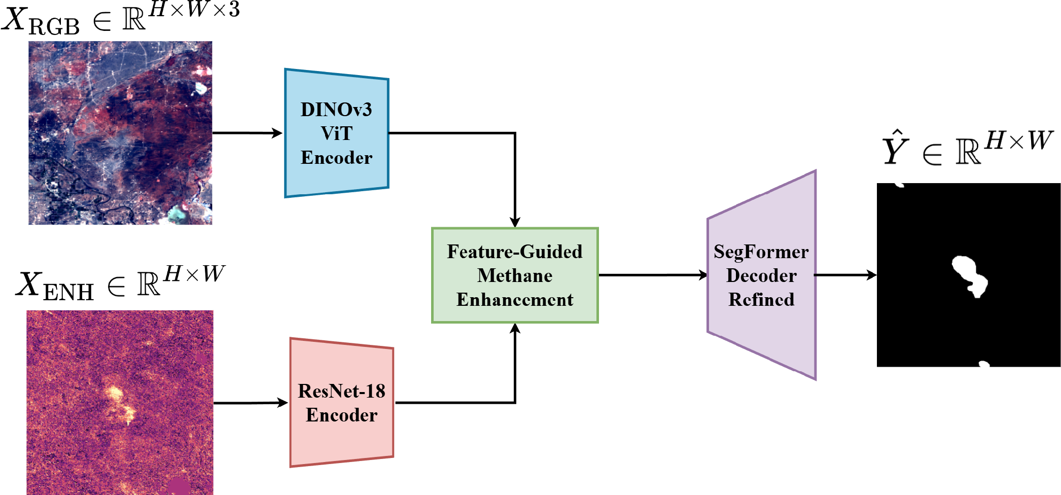
Methane-Plume Segmentation from Hyperspectral Satellite Imagery via Multimodal Deep Learning

Abstract

Efficient detection of methane plumes is crucial for understanding and mitigating global warming, as accurately identifying and segmenting them in earth observation imagery remain essential for large-scale monitoring. In this work, we propose a multimodal deep learning model that integrates a feature-guided methane enhancement (FGME) mechanism which injects physically meaningful methane cues into transformer-based RGB representations at multiple semantic scales. Our method is evaluated on the MPDataset, where it outperforms the state-of-the-art with improvements of +0.92 in MIoU, +0.87 in MPrecision and +1.01 in Recall. Notably, these gains are obtained with a substantially lower computational cost than other high-performing architectures, resulting in a favorable accuracy-efficiency trade-off for large-scale methane monitoring. These results highlight the potential of efficient multimodal fusion strategies for accurate and scalable methane plume segmentation in real-world remote sensing applications.

IGARSS
2026

Awards

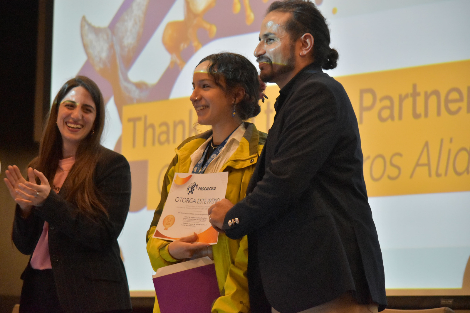
Best poster at the conference

Best poster at the conference

Abstract

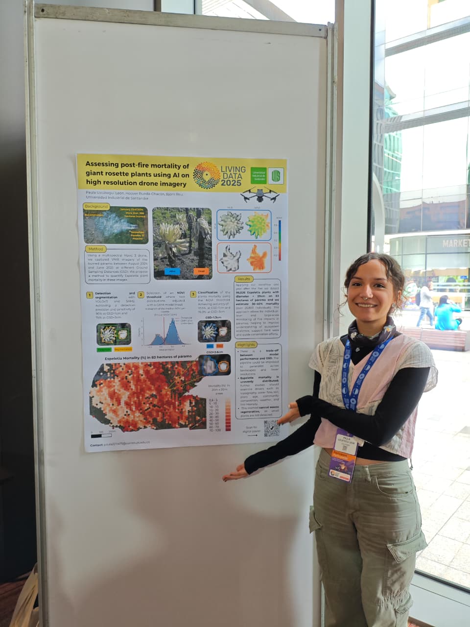
Páramos are diverse tropical mountain ecosystems, vital for water regulation but increasingly exposed to fires and other disturbances. The remoteness and inaccessibility of páramos make them challenging to study. In Colombia, the fire response of giant rosette plants (Espeletia spp.), keystone species in these ecosystems, has been scarcely studied. Here, we implemented a high-resolution multispectral VNIR image processing pipeline using drone imagery to assess Espeletia mortality one year after a fire in January 2024 in the Santurbán Páramo (Colombia). Our workflow combines state-of-the-art detection and segmentation algorithms YOLOv11 and Segment Anything Model 2 (SAM2) to identify Espeletia plants in RGB imagery and extract multispectral information from each rosette. We achieved sensitivities and precisions of 90% for images with a Ground Sampling Distance (GSD) of approximately 1 cm and 74% for GSD of approximately 3 cm. Plant mortality was assessed through an unsupervised classification approach. Assuming a bimodal distribution in the median NDVI values extracted from individual plant rosettes, a Gaussian Mixture Model (GMM) was fitted to the NDVI data to objectively determine the optimal separation threshold between two distributions. This successfully discriminated between live and dead individuals, achieving high field-validated classification accuracies of 93.5% for imagery with a GSD of approximately 1 cm and 76.3% for GSD of approximately 3 cm. Applying this workflow, we detected 86,026 Espeletia plants across 83 ha of páramo, of which 30-40% showed mortality likely associated with fire stress. Our results demonstrate that this approach enables accurate, individual-level assessment of plant health, providing a scalable tool to monitor fire impacts and ecosystem resilience in high-Andean páramos.

Living Data

2025
Back to Research
© 2026 CVAIL. All Rights Reserved
Policies and Terms
Powered by CVAIL Research Group